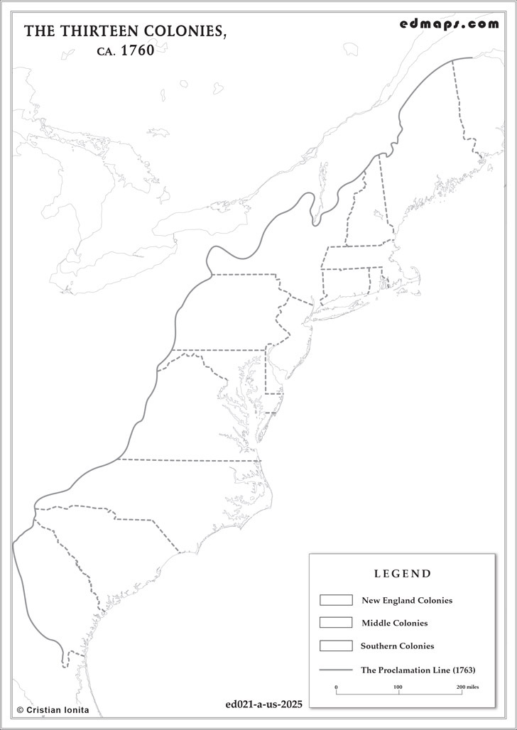
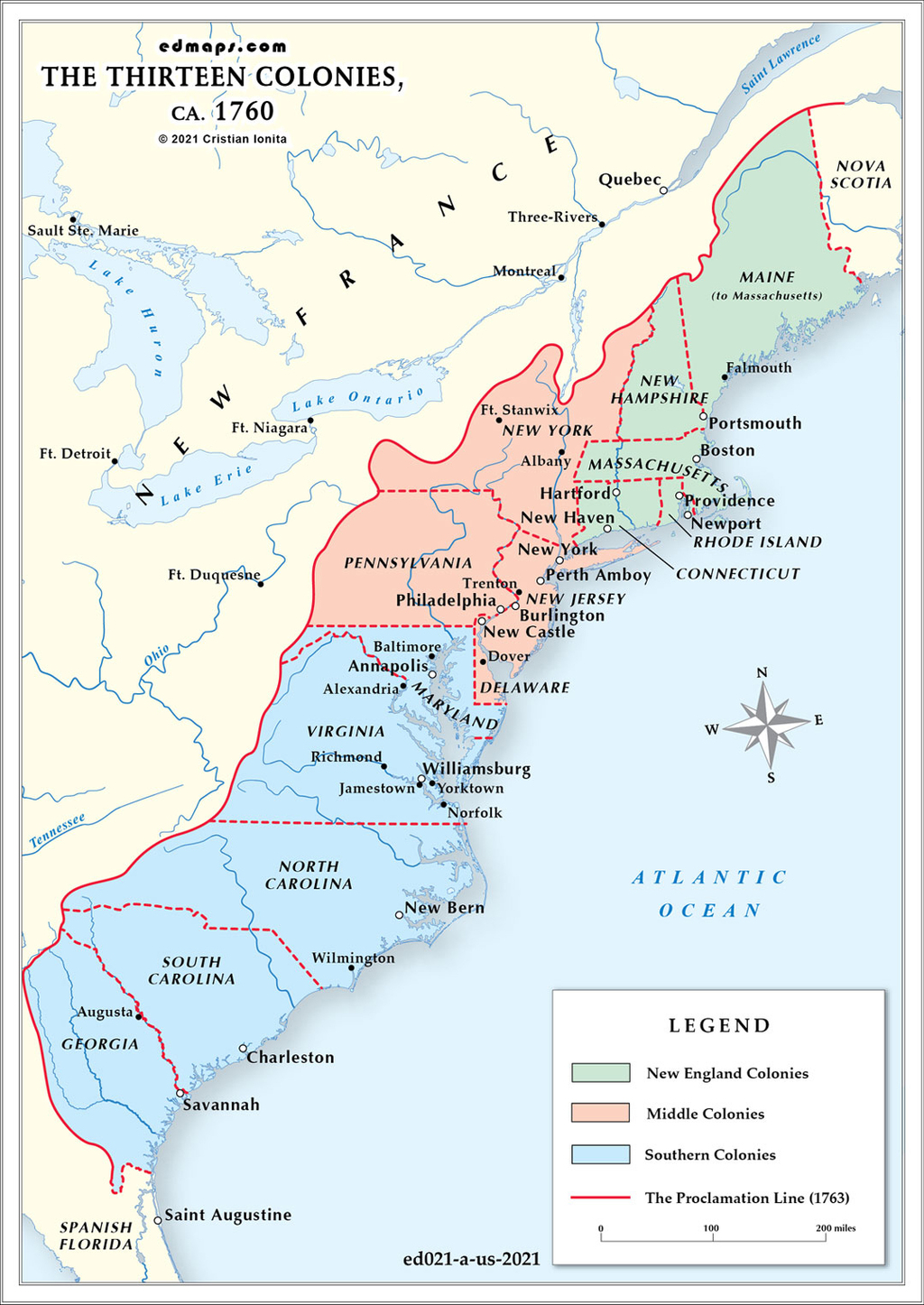
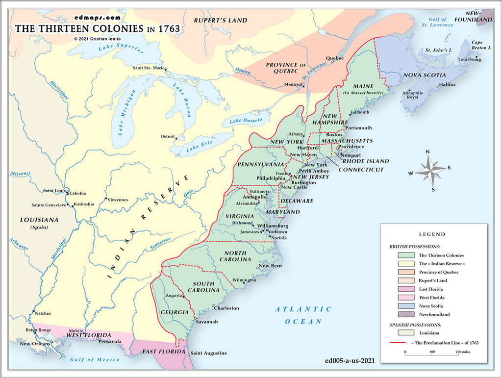
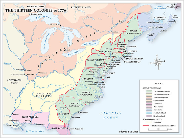
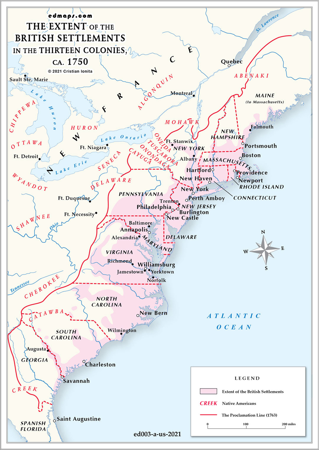
By 1750, British settlements in the thirteen American colonies had expanded significantly from their initial coastal footholds, though they remained largely confined east of the Appalachian Mountains.
The Atlantic coastline was thoroughly settled from Maine to Georgia, with established communities extending inland 50-100 miles in most regions. Tidewater areas of Virginia and Maryland featured dense plantation settlements along major rivers like the James, York, and Potomac. The Chesapeake Bay region supported extensive tobacco cultivation with scattered plantations and small towns.
Settlement patterns varied considerably by region. In New England, communities had pushed westward into the Connecticut River valley and central Massachusetts, establishing farming towns following the township system. The Connecticut River corridor supported thriving agricultural communities extending into present-day Vermont and New Hampshire.
Pennsylvania experienced the most dramatic interior expansion, with German and Scots-Irish immigrants settling the fertile southeastern counties and pushing westward toward the Susquehanna River. Lancaster County became a major agricultural center, while settlers were beginning to cross into the Cumberland Valley.
The Carolina Piedmont witnessed substantial settlement during the 1730s and 1740s as Scots-Irish and German immigrants moved south from Pennsylvania through the Great Wagon Road. These backcountry settlements extended from Virginia through the Carolinas, creating a distinct frontier culture different from coastal plantation society.
The Appalachian Mountains formed a natural barrier limiting westward expansion. Only scattered settlements existed beyond the mountain barrier, primarily in the Shenandoah Valley of Virginia and small communities in present-day Kentucky and Tennessee. Most colonial settlements remained within 150 miles of the Atlantic Ocean.
Population density was highest in southeastern Pennsylvania, the Connecticut River valley, and around major ports like Boston, New York, and Philadelphia. Rural areas maintained scattered farmsteads and small villages, while the frontier regions featured isolated homesteads and trading posts serving as advance settlements for future expansion.
Sources, Methodology & Educational Use: The maps presented on this page are original creations produced for edmaps.com by Dr. Cristian Ionita. Each map is based on verified historical data relating to the territorial evolution, administrative structures, and political history of the United States. The maps are designed according to established practices in historical cartography, including source analysis, period contextualization, and visual clarity. The collection is curated to support teaching, learning, and public understanding of the U.S. history, and is intended for educational and non‑commercial use.
edmaps.com — Historical Cartography for Education
edmaps.com provides original maps and curated historical maps designed to support teaching, learning, and public understanding of territorial evolution and administrative history. The original maps are created by Dr. Cristian Ionita, and all curated maps are selected from public archives, historical collections, and private holdings, and are presented for educational and non‑commercial use.
© Cristian Ionita. All rights reserved.
Website: https://edmaps.com — Contact: info@edmaps.com