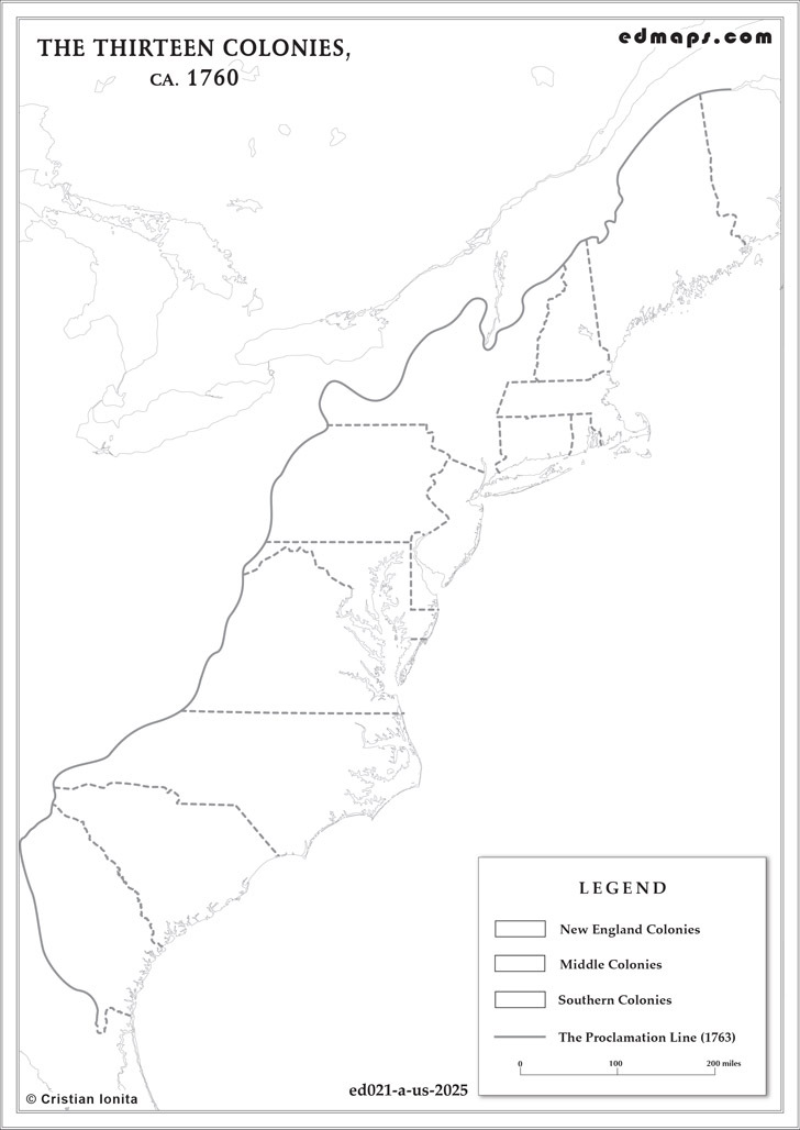
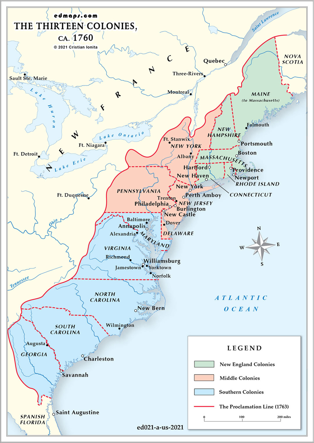
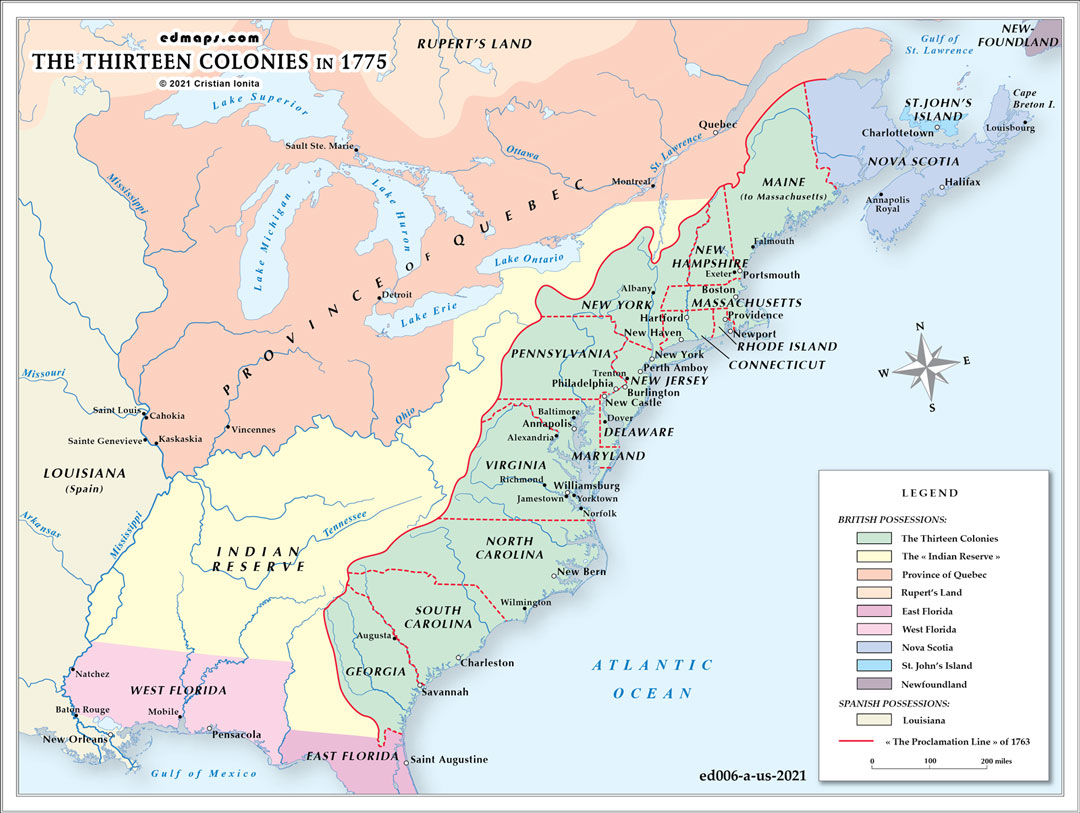
By 1775, the thirteen American colonies had evolved into a complex territorial and administrative system on the brink of revolutionary upheaval, with growing tensions over British imperial control and western expansion.
The thirteen colonies maintained their established governmental frameworks: eight royal colonies (New Hampshire, New York, New Jersey, Virginia, North Carolina, South Carolina, Georgia, and Massachusetts after 1691), three proprietary colonies (Pennsylvania, Delaware, Maryland), and two charter colonies (Rhode Island and Connecticut). Each possessed colonial assemblies, appointed or elected governors, and distinct legal systems, though all remained subject to British parliamentary authority and imperial oversight.
The Royal Proclamation of 1763's prohibition on settlement west of the Appalachian Mountains had created mounting frustration among colonists. Land speculators, settlers, and colonies with sea-to-sea charter claims (Virginia, Massachusetts, Connecticut, North Carolina, South Carolina, Georgia) increasingly viewed the proclamation as an illegal restriction on their territorial rights and economic opportunities.
The Quebec Act of 1774 extended Quebec's boundaries south to the Ohio River and west to the Mississippi, effectively transferring much of the Ohio Valley from potential colonial control to Quebec's jurisdiction. This act intensified colonial anger, as it appeared to reward Catholic Quebec while restricting Protestant colonial expansion.
By 1775, colonial resistance had created parallel governmental structures. The Continental Congress, first convened in 1774, was asserting coordinating authority among the colonies. Provincial congresses and committees of safety were replacing or challenging royal authority in individual colonies.
Despite British restrictions, colonial settlement continued pushing westward. Daniel Boone was establishing Kentucky settlements, and land companies were organizing western ventures. Virginia, claiming vast western territories through its colonial charter, was particularly active in asserting territorial rights beyond the proclamation line, setting the stage for post-independence territorial expansion and disputes.
Sources, Methodology & Educational Use: The maps presented on this page are original creations produced for edmaps.com by Dr. Cristian Ionita. Each map is based on verified historical data relating to the territorial evolution, administrative structures, and political history of the United States. The maps are designed according to established practices in historical cartography, including source analysis, period contextualization, and visual clarity. The collection is curated to support teaching, learning, and public understanding of the U.S. history, and is intended for educational and non‑commercial use.
edmaps.com — Historical Cartography for Education
edmaps.com provides original maps and curated historical maps designed to support teaching, learning, and public understanding of territorial evolution, political history, etc. The original maps are created by Dr. Cristian Ionita, and all curated maps are selected from public archives, historical collections, and private holdings, and are presented for educational and non‑commercial use.
© Cristian Ionita. All rights reserved.
Website: https://edmaps.com — Contact: info@edmaps.com