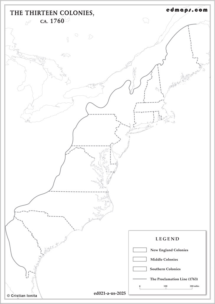
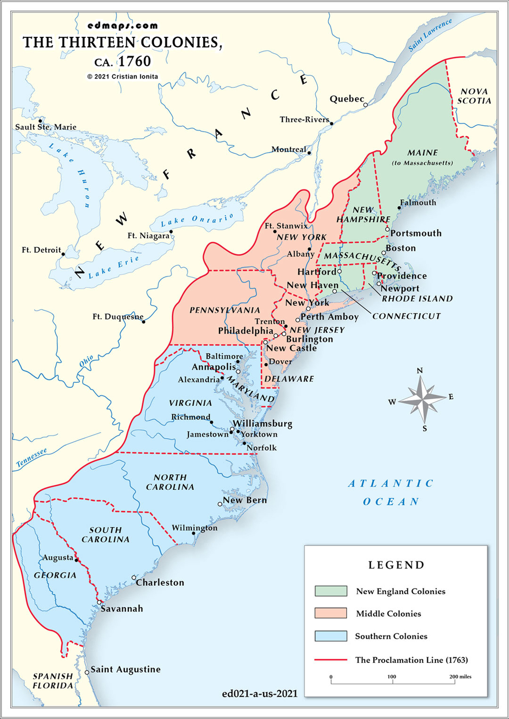
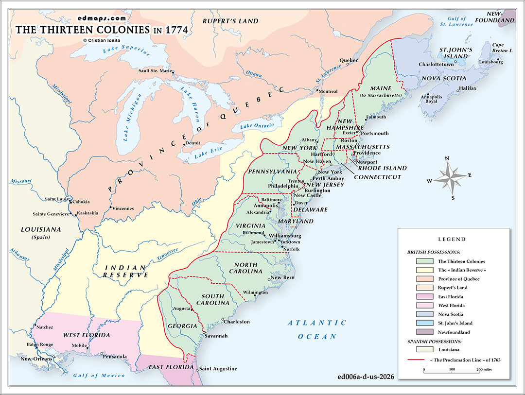
The year 1774 marked a radical, imperial restructuring of North American borders with the British Parliament’s passage of the Quebec Act. While designed by London to stabilize the newly acquired French-Canadian territory, the Act fundamentally altered the geopolitical landscape of the Thirteen Colonies, serving as a direct catalyst for the revolutionary crisis.
By sweeping the vast, unsettled lands of the Ohio Country, stretching from the Allegheny Mountains to the Mississippi River and south to the Ohio River, directly into the administrative jurisdiction of the Province of Quebec, the British government effectively erased the western charter claims of colonies like Virginia, Connecticut, Pennsylvania, and Massachusetts. This sudden bureaucratic shift instantly nullified the ambitions of colonial land speculation companies, wealthy investors, and frontier settlers who viewed the Ohio Valley as their rightful economic future.
Furthermore, the Act established a highly centralized, non-representative government in Quebec, lacking colonial assemblies, and officially recognized the Roman Catholic Church alongside French civil law. For the overwhelmingly Protestant Thirteen Colonies, this expansion of an autocratic, Catholic province directly to their western backdoors was perceived not just as a territorial loss, but as a calculated ideological encirclement. It signaled that Parliament was willing to dismantle traditional English liberties and representative governance across North America.
By blocking westward expansion and threatening colonial autonomy simultaneously, the reimagined borders of Quebec transformed a localized New England protest against the Coercive Acts into a continent-wide defense of territorial and political survival, binding the agrarian frontier to the urban Atlantic resistance.
Sources, Methodology & Educational Use: The maps presented on this page are original creations produced for edmaps.com by Dr. Cristian Ionita. Each map is based on verified historical data relating to the territorial evolution, administrative structures, and political history of the United States. The maps are designed according to established practices in historical cartography, including source analysis, period contextualization, and visual clarity. The collection is curated to support teaching, learning, and public understanding of the U.S. history, and is intended for educational and non‑commercial use.
edmaps.com — Historical Cartography for Education
edmaps.com provides original maps and curated historical maps designed to support teaching, learning, and public understanding of territorial evolution, political history, etc. The original maps are created by Dr. Cristian Ionita, and all curated maps are selected from public archives, historical collections, and private holdings, and are presented for educational and non‑commercial use.
© Cristian Ionita. All rights reserved.
Website: https://edmaps.com — Contact: info@edmaps.com